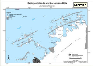
Map 13194: Bølingen Islands and Larsemann Hills
Flight lines and photograph centres from the Linhof camera, January 1987
Map details
| Map Number | 13194 |
| Title | Bølingen Islands and Larsemann Hills Flight lines and photograph centres from the Linhof camera, January 1987 |
| Edition | - |
| Scale | 1 : 100 000 |
| Publication date | October 2005 |
| Publisher |
Australian Antarctic Division (Australia)
|
| Spatial coverage |
( 75.5000° -69.3333°)
,
( 76.4167° -69.3333°)
,
( 76.4167° -69.5333°)
( 75.5000° -69.5333°) |
| Projection | Universal Transverse Mercator |
| Physical size | 29.7 x 42 cm A3 |
| Notes | The photographs are part of the Australian Antarctic Data Centre's collection of aerial photographs. Requests to view the aerial photographs should be made to the Australian Antarctic Data Centre. |
| Keywords | Aerial Photography Linhof |
Downloads
This is a digital map available for downloading.
Map Lists
This map belongs to the following lists. Use the link on the list to see all maps belonging to that list
Additional Information
| Horizontal datum | WGS84 |
Preview