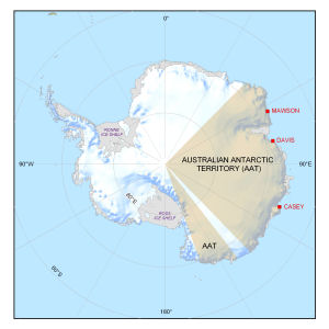
Map 13320: Australian Antarctic year-round stations
Map details
| Map Number | 13320 |
| Title | Australian Antarctic year-round stations |
| Edition | 1 |
| Scale | 1 : 50 000 000 |
| Publication date | September 2006 |
| Publisher | - |
| Spatial coverage |
(-180.0000° -50.0000°)
,
(180.0000° -50.0000°)
,
(180.0000° -90.0000°)
(-180.0000° -90.0000°) |
| Projection | Polar Stereographic |
| Physical size | 13.2 x 12.9 cm |
| Notes | Produced for the Australian Antarctic Magazine Issue no. 11 (Spring 2006) |
| Keywords | Casey , Davis , Mawson , Territory |
Downloads
This is a digital map available for downloading.
Map Lists
This map belongs to the following lists. Use the link on the list to see all maps belonging to that list
Additional Information
| Horizontal datum | WGS84 |
Preview