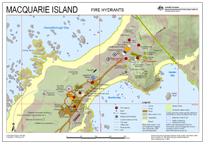
Map 13565: Macquarie Island Fire Hydrants (Superceded)
Map details
| Map Number | 13565 |
| Title | Macquarie Island Fire Hydrants (Superceded) |
| Edition | 3 |
| Previous edition | [Previous edition : 2] |
| Scale | 1 : 1700 |
| Publication date | November 2008 |
| Publisher |
Australian Antarctic Division (Australia)
|
| Spatial coverage |
(158.9325° -54.4972°)
,
(158.9428° -54.4972°)
,
(158.9428° -54.5008°)
(158.9325° -54.5008°) |
| Projection | Universal Transverse Mercator |
| Physical size | 29.7 x 42 cm A3 |
| Notes | This information has been superceded by the Fire Response Guidelines available at: http://records.aad.gov.au/api/record/488499/LatestFinalFile |
| Keywords | Fire Hydrants , Fire Pump House , Fire Hut |
Downloads
This is a digital map available for downloading.
Map Lists
This map belongs to the following lists. Use the link on the list to see all maps belonging to that list
Additional Information
Preview