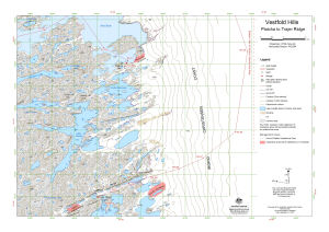
Map 13574: Vestfold Hills: Platcha to Trajer Ridge
Map details
| Map Number | 13574 |
| Title | Vestfold Hills: Platcha to Trajer Ridge |
| Edition | 1 |
| Scale | 1 : 25 000 |
| Publication date | February 2009 |
| Publisher |
Australian Antarctic Division (Australia)
|
| Spatial coverage |
( 78.3946° -68.4907°)
,
( 78.7105° -68.4907°)
,
( 78.7105° -68.5763°)
( 78.3946° -68.5763°) |
| Projection | Universal Transverse Mercator |
| Physical size | 42 x 59.4 cm A2 |
| Keywords | Topographic |
Downloads
This is a digital map available for downloading.
Map Lists
This map belongs to the following lists. Use the link on the list to see all maps belonging to that list
Additional Information
| Horizontal datum | WGS84 |
| Vertical datum | Mean sea level |
Preview