Map 13772: Mawson Data, Mawson Antarctica Sheet 1 of 2
Map details
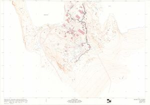
| Map Number | 13772 |
| Title | Mawson Data, Mawson Antarctica Sheet 1 of 2 |
| Edition | 1 |
| Scale | 1 : 1000 |
| Publication date | August 1996 |
| Publisher |
Australian Surveying and Land Information Group, Department of Administrative Services, Canberra (Australia)
|
| Spatial coverage |
( 62.8583° -67.5934°)
,
( 62.8861° -67.5934°)
,
( 62.8861° -67.6076°)
( 62.8583° -67.6076°) |
| Projection | Universal Transverse Mercator |
| Physical size | 116 x 85 cm |
| Notes | Photography: (camera) UMK7389978, (lens) 100.20mm, (film no.) ANT1021, (scale) 1:5000, (run) 0-2, (frames) 1a, (date) Mar 1996. |
| Keywords | Auslig , Topographic , Mawson , Buildings , Infrastructure , Roads , Detail Survey , Topographic |
Downloads
This is a hard copy map that has been scanned. See information about obtaining copies of hard copy maps.
Map Lists
No maps lists available.
Additional Information
| Horizontal datum | WGS84 |
| Vertical datum | MSL |
| Vertical unit | Metres |
Preview