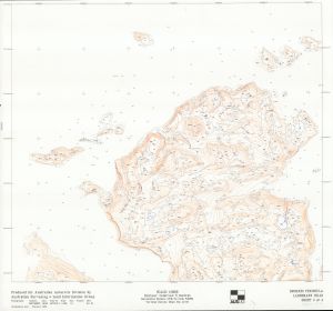
Map 13776: Broknes Peninsula and Larsemann Hills Sheet 3 of 4
Map details
| Map Number | 13776 |
| Title | Broknes Peninsula and Larsemann Hills Sheet 3 of 4 |
| Edition | 1 |
| Scale | 1 : 5000 |
| Publication date | February 1996 |
| Publisher |
Australian Surveying and Land Information Group, Department of Administrative Services, Canberra (Australia)
Australian Antarctic Division (Australia) |
| Spatial coverage |
( 75.7170° -68.9000°)
,
( 76.7170° -68.9000°)
,
( 76.7170° -69.9000°)
( 75.7170° -69.9000°) |
| Projection | Universal Transverse Mercator |
| Physical size | 69 x 74.5 cm |
| Notes | Map created from aerial photography: (camera) UMK7389978, (lens) 100.20mm, (film no.) ANT1016-5, (scale) 1:1000, (run) 1-6, (date) Nov 94. |
| Alternative title | AUSLIG photogrammetric plot of Broknes Peninsula |
| Keywords | Survey Marks , Topographic |
Downloads
This is a hard copy map that has been scanned. See information about obtaining copies of hard copy maps.
Map Lists
This map belongs to the following lists. Use the link on the list to see all maps belonging to that list
Additional Information
| Horizontal datum | WGS84 |
| Vertical datum | MSL |
Preview