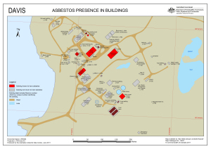
Map 13937: Davis Asbestos presence in buildings
Map details
| Map Number | 13937 |
| Title | Davis Asbestos presence in buildings |
| Edition | 1 (Out of Date) |
| Next Edition | [Next Edition : 2] |
| Scale | 1 : 1750 |
| Publication date | June 2011 |
| Publisher |
Australian Antarctic Division (Australia)
|
| Spatial coverage |
( 77.9608° -68.5747°)
,
( 77.9775° -68.5747°)
,
( 77.9775° -68.5786°)
( 77.9608° -68.5786°) |
| Projection | Universal Transverse Mercator |
| Physical size | 29.7 x 42 cm A3 |
| Notes | Map removed from being public available on 3/8/2016 at the request of David Waterhouse as it is out of date. Will be made publicly available again when a new edition is published. |
| Keywords | Station , Maximo |
Downloads
This is a digital map available for downloading.
Map Lists
This map belongs to the following lists. Use the link on the list to see all maps belonging to that list
Additional Information
| Horizontal datum | WGS84 |
Preview