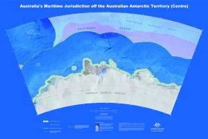
Map 14000: Australia's Maritime Jurisdiction off the Australian Antarctic Territory (Centre)
Map details
| Map Number | 14000 |
| Title | Australia's Maritime Jurisdiction off the Australian Antarctic Territory (Centre) |
| Edition | 1 |
| Scale | 1 : 2 000 000 |
| Publication date | 2010 |
| Publisher |
Geoscience Australia (Australia)
|
| Spatial coverage |
( 78.0000° -59.5000°)
,
(124.0000° -59.5000°)
,
(124.0000° -70.0000°)
( 78.0000° -70.0000°) |
| Projection | Lambert Conformal Conic |
| Physical size | 79 x 118 cm |
| Reference | GeoCat 69790 |
| Keywords | Maritime Jurisdiction , Australian Antarctic Basin , Southern Kerguelen Plateau , Princess Elizabeth Trough , Four Ladies Bank , Mikhaylov Island , Drygalski Island , Masson Island , Mill Island , Bowman Island , Cape Peremennyy , Cape Waldron , Moscow University Ice Shelf , Cape Southard Australia's Territorial Sea , Australia's Contiguous Zone Limit , Australia's Exclusive Economic Zone Limit , Geocat 69790 |
Downloads
This is a digital map available for downloading.
Map Lists
This map belongs to the following lists. Use the link on the list to see all maps belonging to that list
Additional Information
| Horizontal datum | WGS84 |
| Nomenclature | Australian Antarctic Gazetteer |
Preview