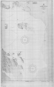
Map 14126: Windmill Islands - Sheet 3
Map details
| Map Number | 14126 |
| Title | Windmill Islands - Sheet 3 |
| Edition | 1 (Out of Date) |
| Next Edition | [Next Edition : 2] |
| Scale | 1 : 12 000 |
| Publication date | August 1956 |
| Publisher |
Defence Mapping Agency, Hydrographic Center (United States of America)
|
| Spatial coverage |
(110.5667° -66.3667°)
,
(110.7833° -66.3667°)
,
(110.7833° -66.5028°)
(110.5667° -66.5028°) |
| Projection | Mercator |
| Physical size | 132 x 91 cm |
| Reference | H.O. 16,520-3 |
| Keywords | Browning Island , Boffa Islet , Teigan Rock , Bosner Rock , Herring Islet , Cloyd Islet , Windmill Islands , Chart , US Navy , Topographic |
Downloads
This is a hard copy map that has been scanned. See information about obtaining copies of hard copy maps.
Map Lists
No maps lists available.
Additional Information
| Vertical unit | Feet |
Preview