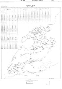
Map 14130: Vestfold Hills Lake Levels 1979 to 1985
Map details
| Map Number | 14130 |
| Title | Vestfold Hills Lake Levels 1979 to 1985 |
| Edition | 1 (Out of Date) |
| Next Edition | [Next Edition : 2] |
| Scale | 1 : 50 000 |
| Publication date | 1985 |
| Publisher |
Department of National Development, Division of National Mapping (Australia)
|
| Spatial coverage |
( 77.8000° -68.3300°)
,
( 78.6000° -68.3300°)
,
( 78.6000° -68.6830°)
( 77.8000° -68.6830°) |
| Projection | Transverse Mercator |
| Physical size | 96 x 68 cm |
| Notes | Compiled and drawn by P. Kaczerepa |
| Keywords | Lakes , Benchmarks , Water Levels |
Downloads
This is a hard copy map that has been scanned. See information about obtaining copies of hard copy maps.
Map Lists
No maps lists available.
Additional Information
| Vertical datum | Mean Sea Level 1983 |
| Vertical unit | Metres |
Preview