Map 14165: Plant formations of Macquarie Island : northern portion
Map details
| Map Number | 14165 |
| Title | Plant formations of Macquarie Island : northern portion |
| Edition | 1 |
| Scale | 1 : 22 000 |
| Publication date | 1959 |
| Publisher |
Australian Antarctic Division (Australia)
|
| Spatial coverage |
(158.8294° -54.4605°)
,
(158.9713° -54.4605°)
,
(158.9713° -54.5750°)
(158.8294° -54.5750°) |
| Projection | Not Given |
| Physical size | 50 x 33 cm |
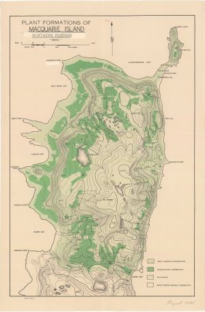
| Notes |
Vegetation map of the north part of Macquarie Island showing wet tussock grassland, sub- glacial herbfield and feldmark AHQ/A6-12/0232 |
| Keywords | Wet Tussock Grassland , Sub-Glacial Herbfield , Feldmark , Survey Marks |
Downloads
Map Lists
No maps lists available.
Additional Information
Preview