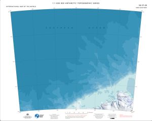
Map 15566: SQ 37-38
Map details
| Map Number | 15566 |
| Title | SQ 37-38 |
| Edition | 2 |
| Previous edition | [Previous edition : 1] |
| Scale | 1 : 1 000 000 |
| Publication date | December 2023 |
| Publisher |
Australian Antarctic Division (Australia)
|
| Spatial coverage |
( 36.0000° -64.0000°)
,
( 48.0000° -64.0000°)
,
( 48.0000° -68.0000°)
( 36.0000° -68.0000°) |
| Projection | Lambert Conformal Conic |
| Physical size | 54 x 68 cm |
| Reference | ISBN: 978-1-876934-39-2 |
| Alternative title | International Map of the World 1:1 000 000 |
| Keywords | Dronning , Maud , Land , Enderby , Land , Haakon Vii Sea , Alasheyev Bight , Casey Bay , Hannan Ice Shelf , Tange Promontory , Assender Glacier , Hays Glacier , Spooner Bay , Freeth Bay , Molodezhnaya , Thala Hills , SQ37-38 , Topographic |
Downloads
This is a digital map available for downloading.
- Georeferenced TIF
- A print file (Georeferenced PDF)
- 1M topographic series 2023 legend and data sources
Map Lists
This map belongs to the following lists. Use the link on the list to see all maps belonging to that list
Additional Information
| Horizontal datum | WGS84 |
| Vertical datum | Mean Sea Level |
| Vertical unit | Metres |
| Nomenclature | Australian Antarctic Gazetteer |
Preview