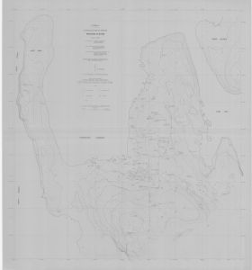
Map 1597: Mawson Station
Map details
| Map Number | 1597 |
| Title | Mawson Station |
| Edition | - |
| Scale | 1 : 1000 |
| Publication date | March 1980 |
| Publisher |
Department of National Development, Division of National Mapping (Australia)
|
| Spatial coverage |
( 62.8611° -67.5972°)
,
( 62.8811° -67.5972°)
,
( 62.8811° -67.6056°)
( 62.8611° -67.6056°) |
| Projection | Universal Transverse Mercator |
| Physical size | 97 x 90 cm |
| Notes | Photogrammetrically compiled from 1978 photography and incorporates amendments from a March 1980 field inspection. |
| Reference | NATMAP |
| Keywords | Mawson , Mawson Station , Horseshoe Harbour , West Arm , Kista Strait , Hump Island , East Bay , |
Downloads
This is a hard copy map that has been scanned. See information about obtaining copies of hard copy maps.
Map Lists
This map belongs to the following lists. Use the link on the list to see all maps belonging to that list
Additional Information
| Vertical datum | Mean Sea Level |
| Vertical unit | Metres |
Preview