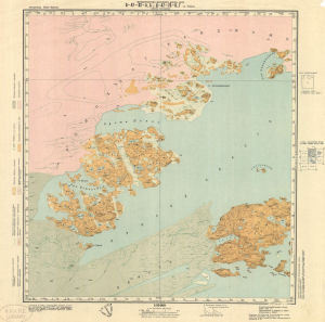
Map 2993: Thomas Island
Map details
| Map Number | 2993 |
| Title | Thomas Island |
| Edition | 1 |
| Scale | 1 : 50 000 |
| Publication date | 1959 |
| Publisher |
Ministry of Merchant Fleet of the U.S.S.R. (Russia)
|
| Spatial coverage |
(100.5000° -65.9500°)
,
(101.0000° -65.9500°)
,
(101.0000° -66.1667°)
(100.5000° -66.1667°) |
| Projection | Gauss Rectangular Transverse Cylindrical |
| Physical size | 57.5 x 57 cm |
| Reference |
SQ 47-82-A, B;
SQ 47-70-V, G Q 47-82-A, B; Q 47-70-V, G |
| Keywords | Thomas Island , Sq 47-82-A , B , Sq47-70-V , G , Bunger Hills , Topographic |
Downloads
No downloads available.
Map Lists
This map belongs to the following lists. Use the link on the list to see all maps belonging to that list
Additional Information
Preview