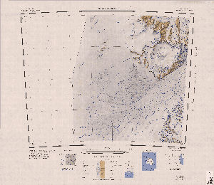
Map 3594: Mount Olympus
Map details
| Map Number | 3594 |
| Title | Mount Olympus |
| Edition | 1 |
| Scale | 1 : 250 000 |
| Publication date | 1966 |
| Publisher |
US Geological Survey (United States of America)
|
| Spatial coverage |
(150.0000° -80.0000°)
,
(157.5000° -80.0000°)
,
(157.5000° -81.0000°)
(150.0000° -81.0000°) |
| Projection | Polar Stereographic |
| Physical size | 66 x 76 cm |
| Notes | Antarctica 1:250,000 reconnaissance series |
| Reference | SU 56-60/1 |
| Keywords | Mount Olympus , Byrd Glacier , Britannia Range , Rundle Peaks , Bates Nunataks , Su 56-60/1 , Topographic |
Downloads
Map Lists
This map belongs to the following lists. Use the link on the list to see all maps belonging to that list
Additional Information
| Vertical datum | Mean Sea Level |
| Nomenclature | U.S. Board on Geographic Names |
Preview