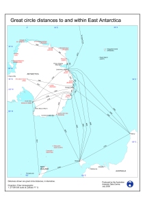
Map 12133: Great circle distances to and within East Antarctica (kilometres)
Map details
| Map Number | 12133 |
| Title | Great circle distances to and within East Antarctica (kilometres) |
| Edition | 1 |
| Scale | 1 : 27 000 000 |
| Publication date | July 2000 |
| Publisher |
Australian Antarctic Division (Australia)
|
| Spatial coverage |
( 0.0000° -45.0000°)
,
(180.0000° -45.0000°)
,
(180.0000° -90.0000°)
( 0.0000° -90.0000°) |
| Projection | Polar Stereographic |
| Physical size | 42 x 29.7 cm A3 |
| Keywords | - |
Downloads
This is a digital map available for downloading.
Map Lists
This map belongs to the following lists. Use the link on the list to see all maps belonging to that list
Additional Information
| Horizontal datum | WGS84 |
Preview