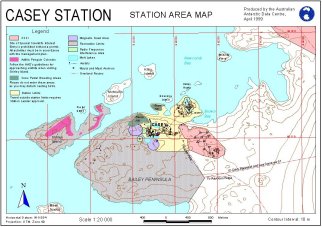
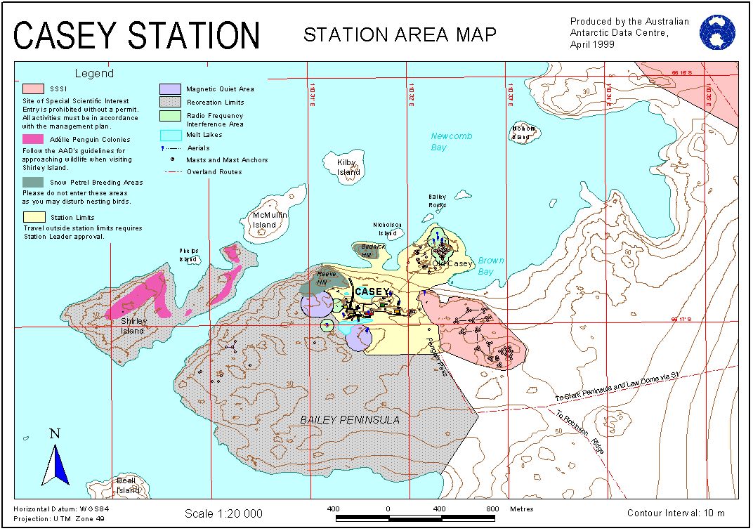
Map 12532: Casey Station Area Map
Map details
| Map Number | 12532 |
| Title | Casey Station Area Map |
| Edition | 3 (Out of Date) |
| Previous edition | [Previous edition : 2] |
| Next Edition | [Next Edition : 4] |
| Scale | 1 : 20 000 |
| Publication date | April 1999 |
| Publisher |
Australian Antarctic Division (Australia)
|
| Spatial coverage |
(110.4667° -66.2653°)
,
(110.5887° -66.2653°)
,
(110.5887° -66.2949°)
(110.4667° -66.2949°) |
| Projection | Universal Transverse Mercator |
| Physical size | 21 x 29.7 cm A4 |
| Keywords | Casey Station , Bailey Peninsula , Shirley Island , Mcmullin Island , Kilby Island , Newcomb Bay , Brown Bay , Collins Rock , Molholm Island , Reeve Hill |
Downloads
This is a digital map available for downloading.
- An A4 print file (PDF)
- Additional information on data sources
- Interactive Map
- An A4 print file (EPS)
- An image (JPG)
Map Lists
No maps lists available.
Additional Information
Preview