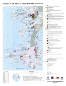
Map 12815: Geology of the Prince Charles Mountains, Antarctica
Map details
| Map Number | 12815 |
| Title | Geology of the Prince Charles Mountains, Antarctica |
| Edition | 1 |
| Scale | 1 : 1 000 000 |
| Publication date | May 2001 |
| Publisher |
Australian Geological Survey Organisation (Australia)
|
| Spatial coverage |
( 60.0000° -70.0000°)
,
( 70.0000° -70.0000°)
,
( 70.0000° -74.5000°)
( 60.0000° -74.5000°) |
| Projection | Polar Stereographic |
| Physical size | 72.5 x 55.5 cm |
| Notes | Map to accompany AGSO Bulletin 247: Geology of the Prince Charles Mountains, Antarctica, Canberra 2001 |
| Reference | Sheets SR43-45, SR41-42 |
| Keywords | Geology , Prince Charles Mountains , Sr43-45 , Sr41-42 , Geology |
Downloads
This is a hard copy map that has been scanned. See information about obtaining copies of hard copy maps.
Map Lists
This map belongs to the following lists. Use the link on the list to see all maps belonging to that list
Additional Information
Preview