Geological maps
View All Map ListsShowing 1 to 20 of 45 maps. On page 1 of 3, go to the Next Page
Beaver Lake View Map Details
Map ID - 940
Published On - 1972 Scale - 1 : 250 000 Physical Size- 70 x 85.5 cm 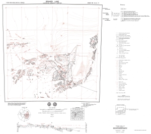
|
Bedrock geology of the Bunger Hills and Denman Glacier Region View Map Details
Map ID - 920
Published On - 1994 Scale - 1 : 250 000 Physical Size- 89 x 112 cm 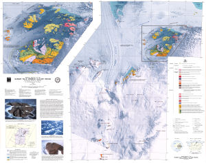
|
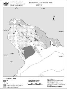
Brattnevet, Larsemann Hills
|
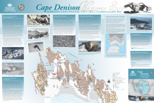
Cape Denison Historic Site
|
Crohn Massif View Map Details
Map ID - 944
Published On - 1972 Scale - 1 : 250 000 Physical Size- 67.5 x 84 cm 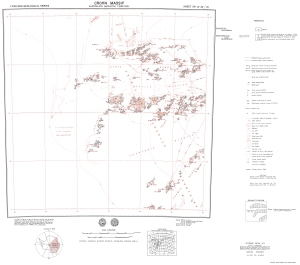
|
Crustal Heat Production in the Australian Antarctic Territory View Map Details
Map ID - 14226
Published On - August-2016 Scale - 1 : 1 500 000 Physical Size- 94 x 77.5 cm 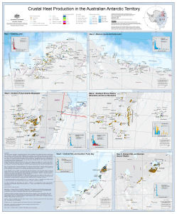
|
Cumpston Massif View Map Details
Map ID - 934
Published On - 1975 Scale - 1 : 250 000 Physical Size- 75 x 101 cm 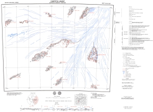
|
Draft - Rauer Group Solid Geology View Map Details
Map ID - 14239
Published On - November-1992 Scale - 1 : 50 000 Physical Size- 72.3 x 64.7 cm 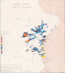
|
Fisher Massif - Mt. Hicks View Map Details
Map ID - 13051
Published On - 1972 Scale - 1 : 250 000 Physical Size- 65 x 98 cm 
|
Geological Map of The Bunger Oasis View Map Details
Map ID - 13935
Published On - 1968 Scale - 1 : 100 000 Physical Size- 59 x 84 cm 
|
Geological Map of the Fildes Peninsula View Map Details
Map ID - 2224
Published On - August-1986 Scale - 1 : 20 000 Physical Size- 57.6 x 44 cm
No previews available
|
Geology of Enderby Land & Western Kemp Land View Map Details
Map ID - 901
Published On - 1985 Scale - 1 : 500 000 Physical Size- 87 x 114.5 cm 
|
Geology of Macquarie Island View Map Details
Map ID - 5122
Published On - 3-June-1998 Scale - 1 : 50 000 Physical Size- 85 x 60 cm 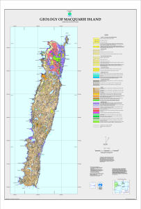
|
Geology of Macquarie Island - North View Map Details
Map ID - 5120
Published On - 28-May-1998 Scale - 1 : 25 000 Physical Size- 88 x 68 cm 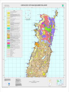
|
Geology of Macquarie Island - Sheet 1 View Map Details
Map ID - 5113
Published On - 18-March-1998 Scale - 1 : 10 000 Physical Size- 73 x 88 cm 
|
Geology of Macquarie Island - Sheet 2 View Map Details
Map ID - 5114
Published On - 18-March-1998 Scale - 1 : 10 000 Physical Size- 70 x 85 cm 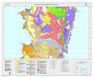
|
Geology of Macquarie Island - Sheet 3 View Map Details
Map ID - 5115
Published On - 18-March-1998 Scale - 1 : 10 000 Physical Size- 73 x 88 cm 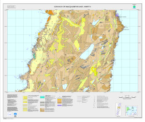
|
Geology of Macquarie Island - Sheet 4 View Map Details
Map ID - 5116
Published On - 18-March-1998 Scale - 1 : 10 000 Physical Size- 73 x 88 cm 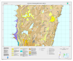
|
Geology of Macquarie Island - Sheet 5 View Map Details
Map ID - 5117
Published On - 18-March-1998 Scale - 1 : 10 000 Physical Size- 73 x 88 cm 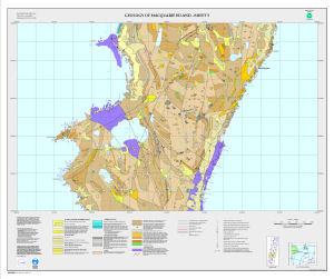
|
Geology of Macquarie Island - Sheet 6 View Map Details
Map ID - 5118
Published On - 18-March-1998 Scale - 1 : 10 000 Physical Size- 73 x 88 cm 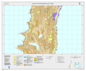
|
Showing 1 to 20 of 45 maps. On page 1 of 3, go to the Next Page