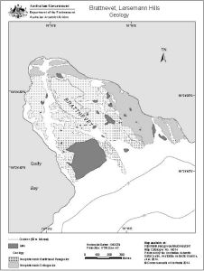
Map 14014: Brattnevet, Larsemann Hills
Geology
Map details
| Map Number | 14014 |
| Title | Brattnevet, Larsemann Hills Geology |
| Edition | 1 |
| Scale | 1 : 11 000 |
| Publication date | June 2014 |
| Publisher |
Australian Antarctic Division (Australia)
|
| Spatial coverage |
( 76.2417° -69.4003°)
,
( 76.2806° -69.4003°)
,
( 76.2806° -69.4158°)
( 76.2417° -69.4158°) |
| Projection | Universal Transverse Mercator |
| Physical size | 15 x 20 cm |
| Keywords | Geology |
Downloads
This is a digital map available for downloading.
Map Lists
This map belongs to the following lists. Use the link on the list to see all maps belonging to that list
Additional Information
| Horizontal datum | WGS84 |
| Vertical datum | Mean sea level |
| Nomenclature | Australian Antarctic Gazetteer |
Preview