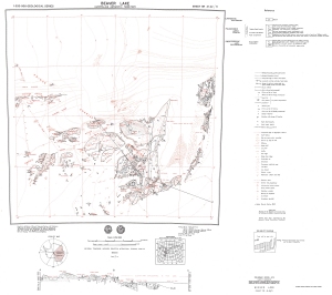
Map 940: Beaver Lake
Map details
| Map Number | 940 |
| Title | Beaver Lake |
| Edition | Preliminary |
| Scale | 1 : 250 000 |
| Publication date | 1972 |
| Publisher |
Bureau of Mineral Resources, Geology and Geophysics, Department of National Development, Canberra (Australia)
|
| Spatial coverage |
( 66.0000° -70.0000°)
,
( 69.0000° -70.0000°)
,
( 69.0000° -71.0000°)
( 66.0000° -71.0000°) |
| Projection | Universal Transverse Mercator |
| Physical size | 70 x 85.5 cm |
| Notes |
1:250,000 geological series. Compiled by Bureau of Mineral Resources, Geology and Geophysics, Dept. of National Development |
| Reference | SR 41-42/11 (M37) |
| Keywords | Beaver Lake , Porthos Range , Aramis Range , Prince Charles Mountains , Amery Peaks , Nemesis Glacier , Manning Massif , Mcleod Massif , Radok Lake , Else Platform , Sr 41-42/11 , M37 , Geology |
Downloads
This is a hard copy map that has been scanned. See information about obtaining copies of hard copy maps.
Map Lists
This map belongs to the following lists. Use the link on the list to see all maps belonging to that list
Additional Information
| Nomenclature | Antarctic Names Committee of Australia |
Preview