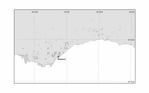
Map 13156: Mawson Coast [Black and white]
Map details
| Map Number | 13156 |
| Title | Mawson Coast [Black and white] |
| Edition | 1 |
| Scale | 1 : 416 724 |
| Publication date | June 2005 |
| Publisher |
Australian Antarctic Division (Australia)
|
| Spatial coverage |
( 62.1917° -67.3250°)
,
( 64.0583° -67.3250°)
,
( 64.0583° -67.7639°)
( 62.1917° -67.7639°) |
| Projection | Universal Transverse Mercator |
| Physical size | 11.9 x 19.4 cm |
| Keywords | Mawson Coast |
Downloads
Map Lists
This map belongs to the following lists. Use the link on the list to see all maps belonging to that list
Additional Information
| Horizontal datum | WGS84 |
Preview