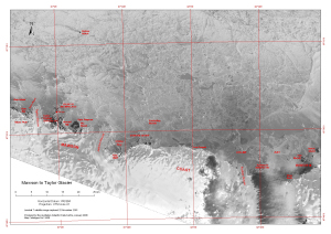
Map 13459: Mawson to Taylor Glacier
Map details
| Map Number | 13459 |
| Title | Mawson to Taylor Glacier |
| Edition | 2 |
| Previous edition | [Previous edition : 1] |
| Scale | 1 : 250 000 |
| Publication date | January 2008 |
| Publisher |
Australian Antarctic Division (Australia)
|
| Spatial coverage |
( 60.6197° -67.1447°)
,
( 62.9514° -67.1447°)
,
( 62.9514° -67.7531°)
( 60.6197° -67.7531°) |
| Projection | Universal Transverse Mercator |
| Physical size | 29.7 x 42 cm A3 |
| Keywords | Oom Bay , Taylor Glacier , Colbeck Archipelago , Ufs Island , Jelbart Glacier , Stibbs Bay , Stanton Group , Low Tongue , Holme Bay , Rookery Islands , Flat Islands , Ring Rock , Welch Island , Oom Island , Jelbart Glacier , Einstoding Islands , Howard Bay , Cape Simpson , Falla Bluff , Forbes Glacier , Satellite Imagery |
Downloads
This is a digital map available for downloading.
Map Lists
This map belongs to the following lists. Use the link on the list to see all maps belonging to that list
Additional Information
| Horizontal datum | WGS84 |
| Nomenclature | Australian Antarctic Gazetteer |
Preview