Satellite image maps
View All Map ListsThe map below shows the extents of each map in this list Alt+Shift+Drag to rotate the map
Showing 1 to 20 of 69 maps. On page 1 of 4, go to the Next Page
Amanda Bay, Princess Elizabeth Land View Map Details
Map ID - 54
Published On - December-1991 Scale - 1 : 100 000 Physical Size- 69 x 99.5 cm 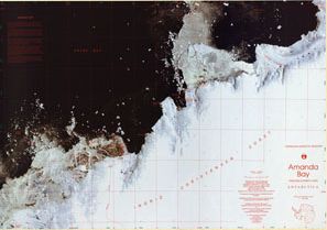
|
Beaver Lake, Mac.Robertson Land View Map Details
Map ID - 57
Published On - 1990 Scale - 1 : 100 000 Physical Size- 70 x 86.5 cm Vertical Unit - Meters 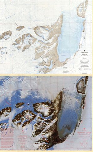
|
Bunger Hills East, Wilkes Land View Map Details
Map ID - 24
Published On - June-1992 Scale - 1 : 50 000 Physical Size- 93 x 69 cm 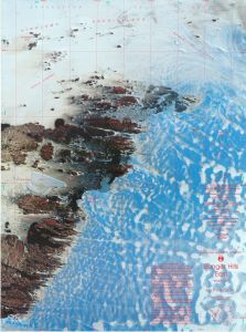
|
Bunger Hills Satellite Image Map View Map Details
Map ID - 11226
Published On - June-1999 Scale - 1 : 350 000 Physical Size- 70 x 90 cm A4 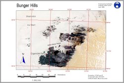
|
Bunger Hills West, Wilkes Land, Queen Mary Land View Map Details
Map ID - 25
Published On - June-1992 Scale - 1 : 50 000 Physical Size- 93 x 69 cm 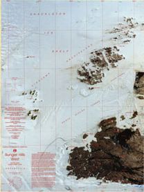
|
Cape Denison - George V Land Coast View Map Details
Map ID - 12755
Published On - December-2001 Scale - 1 : 5000 Physical Size- 46 x 51 cm 
|
Cape Denison and Mackellar Islands - George V Land Coast View Map Details
Map ID - 12754
Published On - December-2001 Scale - 1 : 10 000 Physical Size- 92.5 x 80 cm 
|
Cape Denison, Mackellar Islands and George V Land Coast View Map Details
Map ID - 12753
Published On - December-2001 Scale - 1 : 25 000 Physical Size- 62 x 97 cm 
|
Casey Station to Wilkins Runway View Map Details
Map ID - 13423
Published On - October-2007 Scale - 1 : 100 000 Physical Size- 64 x 98 cm 
|
Casey to Wilkins Aerodrome
|
Charybdis Glacier, Prince Charles Mountains, Mac.Robertson Land View Map Details
Map ID - 111
Published On - February-1993 Scale - 1 : 500 000 Physical Size- 54 x 69 cm 
|
Edgeworth David Base View Map Details
Map ID - 15740
Published On - November-2022 Scale - 1 : 2000 Physical Size- - 
|
Edward VIII Gulf, Kemp Land View Map Details
Map ID - 61
Published On - November-1993 Scale - 1 : 100 000 Physical Size- 69.5 x 99.5 cm 
|
Fimbulheimen View Map Details
Map ID - 14697
Published On - 2017 Scale - 1 : 250 000 Physical Size- 87 x 260 cm 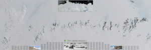
|
Fisher Massif, Mac.Robertson Land View Map Details
Map ID - 62
Published On - July-1992 Scale - 1 : 100 000 Physical Size- 101 x 68 cm 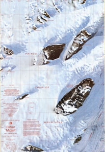
|
Framnes Mountains, Mac.Robertson Land View Map Details
Map ID - 2
Published On - June-1997 Scale - 1 : 100 000 Physical Size- 98 x 69 cm 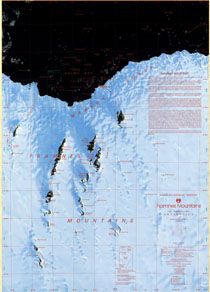
|
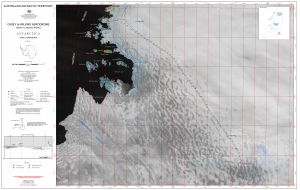
Gillock Island, Mac.Robertson Land, Princess Elizabeth Land View Map Details
Map ID - 65
Published On - November-1993 Scale - 1 : 100 000 Physical Size- 99.5 x 68 cm 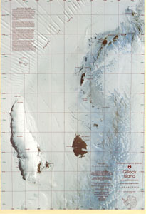
|
Grove Mountains : satellite image map View Map Details
Map ID - 13739
Published On - December-2009 Scale - 1 : 15 000 Physical Size- 78.5 x 98 cm 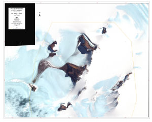
|
Grove Mountains, Princess Elizabeth Land, Antarctica View Map Details
Map ID - 12922
Published On - November-2002 Scale - 1 : 100 000 Physical Size- 61 x 91.5 cm
No previews available
|
Heard Island - East : satellite image map View Map Details
Map ID - 13029
Published On - October-2003 Scale - 1 : 20 000 Physical Size- 83 x 62 cm 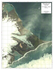
|
Showing 1 to 20 of 69 maps. On page 1 of 4, go to the Next Page