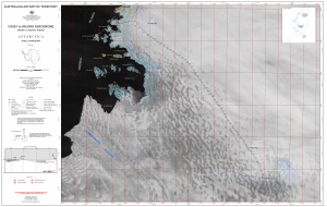
Map 13875: Casey to Wilkins Aerodrome
Skiway Landing Areas
Map details
| Map Number | 13875 |
| Title | Casey to Wilkins Aerodrome Skiway Landing Areas |
| Edition | 1 |
| Scale | 1 : 100 000 |
| Publication date | October 2010 |
| Publisher |
Australian Antarctic Division (Australia)
|
| Spatial coverage |
(110.1667° -66.2333°)
,
(111.8667° -66.2333°)
,
(111.8667° -66.7528°)
(110.1667° -66.7528°) |
| Projection | Universal Transverse Mercator |
| Physical size | 64 x 98 cm |
| Keywords | Ice Runway , Windmill Islands , Satellite Imagery |
Downloads
This is a digital map available for downloading.
Map Lists
This map belongs to the following lists. Use the link on the list to see all maps belonging to that list
Additional Information
| Horizontal datum | WGS84 |
| Vertical datum | Mean Sea Level |
Preview