Satellite image maps
View All Map ListsThe map below shows the extents of each map in this list Alt+Shift+Drag to rotate the map
Showing 21 to 40 of 69 maps. On page 2 of 4, go to the Previous Page or Next Page
Heard Island - East : satellite image map
|
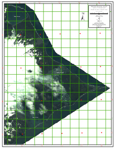
Heard Island & McDonald Islands (satellite image map) View Map Details
Map ID - 31
Published On - December-1991 Scale - 1 : 50 000 Physical Size- 69 x 99.3 cm 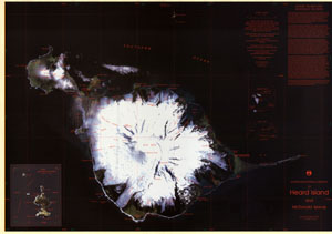
|
Heard Island and McDonald Islands Satellite Image Map View Map Details
Map ID - 16187
Published On - June-2024 Scale - 1 : 50 000 Physical Size- 75 x 106 cm Vertical Unit - Meters 
|
Heard Island Satellite Image Mosaic 2017-2019: Map 1 of 5 View Map Details
Map ID - 16182
Published On - June-2024 Scale - 1 : 50 000 Physical Size- 29.7 x 42 cm A3 Vertical Unit - Meters 
|
Heard Island Satellite Image Mosaic 2017-2019: Map 2 of 5 View Map Details
Map ID - 16183
Published On - June-2024 Scale - 1 : 50 000 Physical Size- 29.7 x 42 cm A3 Vertical Unit - Meters 
|
Heard Island Satellite Image Mosaic 2017-2019: Map 3 of 5 View Map Details
Map ID - 16184
Published On - June-2024 Scale - 1 : 50 000 Physical Size- 29.7 x 42 cm A3 Vertical Unit - Meters 
|
Heard Island Satellite Image Mosaic 2017-2019: Map 4 of 5 View Map Details
Map ID - 16185
Published On - June-2024 Scale - 1 : 50 000 Physical Size- 29.7 x 42 cm A3 Vertical Unit - Meters 
|
Heard Island Satellite Image Mosaic 2017-2019: Map 5 of 5 View Map Details
Map ID - 16186
Published On - June-2024 Scale - 1 : 50 000 Physical Size- 29.7 x 42 cm A3 Vertical Unit - Meters 
|
Heard Island, GeoEye satellite imagery - 2 February 2012, Map 1 of 5 View Map Details
Map ID - 14520
Published On - July-2016 Scale - 1 : 50 000 Physical Size- - 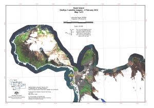
|
Heard Island, GeoEye satellite imagery - 2 February 2012, Map 2 of 5 View Map Details
Map ID - 14521
Published On - July-2016 Scale - 1 : 50 000 Physical Size- - 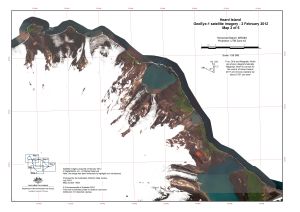
|
Heard Island, GeoEye satellite imagery - 2 February 2012, Map 3 of 5 View Map Details
Map ID - 14522
Published On - July-2016 Scale - 1 : 50 000 Physical Size- - 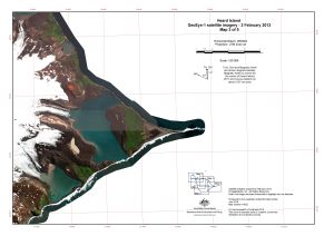
|
Heard Island, GeoEye satellite imagery - 2 February 2012, Map 4 of 5 View Map Details
Map ID - 14523
Published On - July-2016 Scale - 1 : 50 000 Physical Size- - 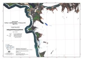
|
Heard Island, GeoEye satellite imagery - 2 February 2012, Map 5 of 5 View Map Details
Map ID - 14524
Published On - July-2016 Scale - 1 : 50 000 Physical Size- - 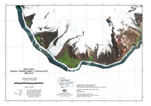
|
Heard Island, GeoEye satellite imagery - 6 February 2014, Map 1 of 5 View Map Details
Map ID - 14525
Published On - July-2016 Scale - 1 : 50 000 Physical Size- - 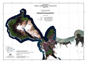
|
Heard Island, GeoEye satellite imagery - 6 February 2014, Map 2 of 5 View Map Details
Map ID - 14526
Published On - July-2016 Scale - 1 : 50 000 Physical Size- - 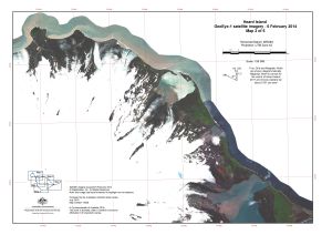
|
Heard Island, GeoEye satellite imagery - 6 February 2014, Map 3 of 5 View Map Details
Map ID - 14527
Published On - July-2016 Scale - 1 : 50 000 Physical Size- - 
|
Heard Island, GeoEye satellite imagery - 6 February 2014, Map 4 of 5 View Map Details
Map ID - 14528
Published On - July-2016 Scale - 1 : 50 000 Physical Size- - 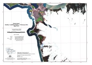
|
Heard Island, GeoEye satellite imagery - 6 February 2014, Map 5 of 5 View Map Details
Map ID - 14529
Published On - July-2016 Scale - 1 : 50 000 Physical Size- - 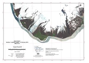
|
Husky Massif, Mac.Robertson Land View Map Details
Map ID - 66
Published On - July-1992 Scale - 1 : 100 000 Physical Size- 69 x 99 cm 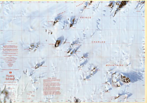
|
Lars Christensen Coast, Mac.Robertson Land View Map Details
Map ID - 109
Published On - February-1993 Scale - 1 : 500 000 Physical Size- 75 x 69 cm 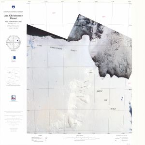
|
Showing 21 to 40 of 69 maps. On page 2 of 4, go to the Previous Page or Next Page