Satellite image maps
View All Map ListsThe map below shows the extents of each map in this list Alt+Shift+Drag to rotate the map
Showing 41 to 60 of 69 maps. On page 3 of 4, go to the Previous Page or Next Page
Larsemann Hills, Princess Elizabeth Land, Satellite Image Map View Map Details
Map ID - 14241
Published On - July-2015 Scale - 1 : 25 000 Physical Size- 75.1 x 126 cm 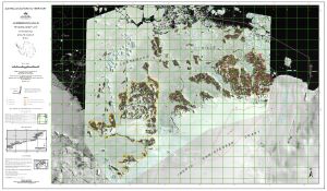
|
Laurens Peninsula : satellite image map, Heard Island View Map Details
Map ID - 13030
Published On - October-2003 Scale - 1 : 12 500 Physical Size- 69 x 64 cm 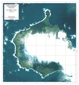
|
Macquarie Island Satellite Image Mosaic View Map Details
Map ID - 3672
Published On - January-1994 Scale - Not Entered Physical Size- 91 x 82 cm
No previews available
|
Macquarie Island Satellite Image Mosaic View Map Details
Map ID - 14038
Published On - January-1994 Scale - Not Entered Physical Size- 23 x 20.5 cm
No previews available
|
Marine Plain : Satellite image map, Vestfold Hills View Map Details
Map ID - 13048
Published On - October-2003 Scale - 1 : 20 000 Physical Size- 61.5 x 67 cm 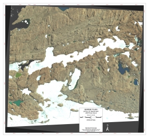
|
Mawson Coast, Mac.Robertson Land View Map Details
Map ID - 110
Published On - February-1993 Scale - 1 : 500 000 Physical Size- 75 x 69 cm 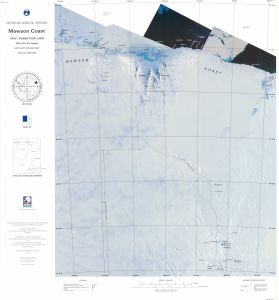
|
Mawson Escarpment North, Mac.Robertson Land View Map Details
Map ID - 67
Published On - December-1995 Scale - 1 : 100 000 Physical Size- 69.5 x 99.5 cm 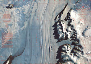
|
Mawson Escarpment South, Mac.Robertson Land View Map Details
Map ID - 68
Published On - December-1995 Scale - 1 : 100 000 Physical Size- 69.5 x 99.5 cm 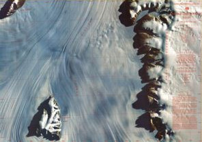
|
Mawson to Auster Rookery View Map Details
Map ID - 13458
Published On - January-2008 Scale - 1 : 130 000 Physical Size- 29.7 x 42 cm A3 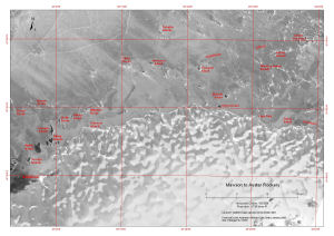
|
Mawson to Taylor Glacier View Map Details
Map ID - 13459
Published On - January-2008 Scale - 1 : 250 000 Physical Size- 29.7 x 42 cm A3 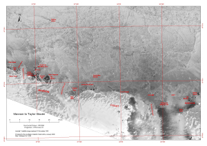
|
McDonald Islands View Map Details
Map ID - 13177
Published On - August-2005 Scale - 1 : 39 693 Physical Size- 12 x 16 cm 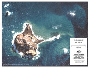
|
McDonald Islands : satellite image map View Map Details
Map ID - 13038
Published On - February-2004 Scale - 1 : 7500 Physical Size- 63 x 83 cm 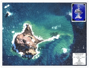
|
McDonald Islands Satellite Image Map View Map Details
Map ID - 13159
Published On - August-2005 Scale - 1 : 7500 Physical Size- 63 x 83 cm 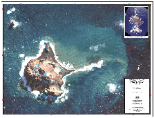
|
Mill Island View Map Details
Map ID - 13721
Published On - October-2009 Scale - 1 : 280 000 Physical Size- 21.3 x 25 cm 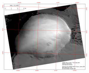
|
Mount Menzies, Mac.Robertson Land View Map Details
Map ID - 1
Published On - August-1997 Scale - 1 : 100 000 Physical Size- 69 x 98 cm 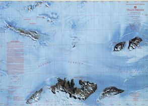
|
Mount Ruker, Mac.Robertson Land View Map Details
Map ID - 4885
Published On - July-1998 Scale - 1 : 100 000 Physical Size- 75.5 x 103.5 cm 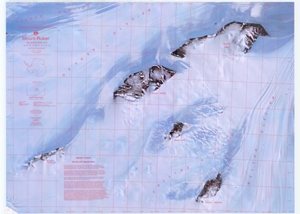
|
Mount Rymill, Mac.Robertson Land View Map Details
Map ID - 4865
Published On - July-1998 Scale - 1 : 100 000 Physical Size- 76.5 x 110 cm 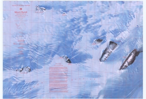
|
Preliminary - Lars Christensen Coast, Mac.Robertson Land View Map Details
Map ID - 14062
Published On - September-1991 Scale - 1 : 500 000 Physical Size- 75 x 69 cm 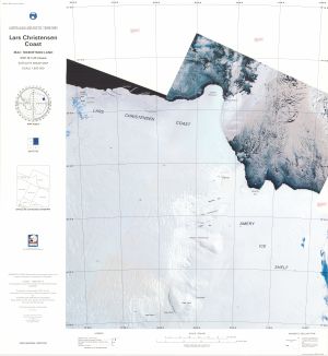
|
Preliminary - Mawson Coast, Mac.Robertson Land View Map Details
Map ID - 14061
Published On - September-1991 Scale - 1 : 500 000 Physical Size- 75 x 69 cm 
|
Rauer Group / Princess Elizabeth Land View Map Details
Map ID - 47
Published On - June-1991 Scale - 1 : 50 000 Physical Size- 93 x 69 cm 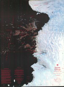
|
Showing 41 to 60 of 69 maps. On page 3 of 4, go to the Previous Page or Next Page