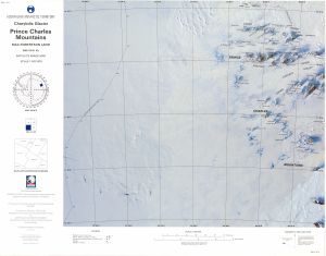
Map 111: Charybdis Glacier, Prince Charles Mountains, Mac.Robertson Land
Map details
| Map Number | 111 |
| Title | Charybdis Glacier, Prince Charles Mountains, Mac.Robertson Land |
| Edition | 1 |
| Previous edition | [Previous edition : Provisional ] |
| Scale | 1 : 500 000 |
| Publication date | February 1993 |
| Publisher |
Australian Antarctic Division (Australia)
|
| Spatial coverage |
( 59.5000° -69.9167°)
,
( 66.5000° -69.9167°)
,
( 67.0000° -72.0333°)
( 59.0000° -72.0333°) |
| Projection | Lambert Conformal Conic |
| Physical size | 54 x 69 cm |
| Reference |
SR 41-42c Cat.No:M8 in ANARE Catalogue 1997 |
| Keywords | Charybdis , Glacier , Prince Charles Mountains , Mac. Robertson , Land , Anare Nunataks , Athos Range , Dovers , Scylla Glacier , Porthos Range , Aramis Range , Sr41-42C , Sr41-42/C , Satellite Imagery |
Downloads
This is a hard copy map that has been scanned. See information about obtaining copies of hard copy maps.
Map Lists
This map belongs to the following lists. Use the link on the list to see all maps belonging to that list
Additional Information
| Nomenclature | Australian Antarctic Gazetteer |
Preview