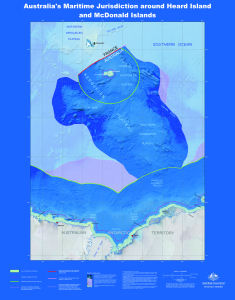
Map 14005: Australia's Maritime Jurisdiction around Heard Island and McDonald Islands
Map details
| Map Number | 14005 |
| Title | Australia's Maritime Jurisdiction around Heard Island and McDonald Islands |
| Edition | 1 |
| Scale | 1 : 3 000 000 |
| Publication date | 2010 |
| Publisher |
Geoscience Australia (Australia)
|
| Spatial coverage |
( 57.5000° -47.0000°)
,
( 92.5000° -47.0000°)
,
( 92.5000° -70.5000°)
( 57.5000° -70.5000°) |
| Projection | Mercator |
| Physical size | 107.5 x 84 cm |
| Reference | GeoCat 69749 |
| Keywords | Maritime Jurisdiction , Kerguelen Plateau , Gallieni Spur , Williams Ridge , Labuan Basin , Elan Bank , Fram Bank , Four Ladies Bank , Geocat 69745 , Australia's Territorial Sea , Australia's Contiguous Zone Limit , Exclusive Economic Zone Limit , EEZ , Continental Shelf Treaty Boundary |
Downloads
This is a digital map available for downloading.
Map Lists
This map belongs to the following lists. Use the link on the list to see all maps belonging to that list
Additional Information
| Horizontal datum | WGS84 |
| Nomenclature | Australian Antarctic Gazetteer |
Preview