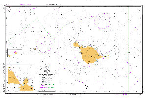
Map 14607: Aus 605 Australia - Southern Ocean - Heard and McDonald Islands
Map details
| Map Number | 14607 |
| Title | Aus 605 Australia - Southern Ocean - Heard and McDonald Islands |
| Edition | 2 |
| Scale | 1 : 150 000 |
| Publication date | 18 July 2014 |
| Publisher |
Hydrographic Service, Department of the Navy, Wollongong (Australia)
|
| Spatial coverage |
( 72.1000° -52.6000°)
,
( 74.4167° -52.6000°)
,
( 74.4167° -53.4833°)
( 72.1000° -53.4833°) |
| Projection | Mercator |
| Physical size | 73 x 110.5 cm |
| Notes | Includes inset of Atlas Cove 1:50 000. Small corrections between editions. |
| Reference | Aus 605 |
| Keywords | Heard Island , Mcdonald Island , Southern Ocean , Aus605 , Atlas Cove , Kerguelen Plateau , Shag Island , Drury Rock , Sail Rock , Myer Rock , Chart , Nautical |
Downloads
Map Lists
This map belongs to the following lists. Use the link on the list to see all maps belonging to that list
Additional Information
| Horizontal datum | WGS 84 |
| Vertical unit | Metres |
Preview