Map 15319: Bunger Hills Science Map
Map details
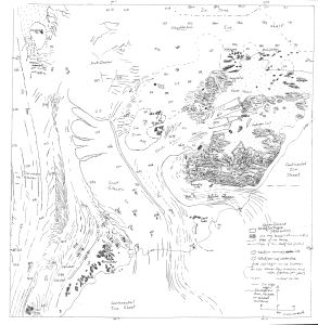
| Map Number | 15319 |
| Title | Bunger Hills Science Map |
| Edition | - |
| Scale | 1 : c250 000 |
| Publication date | - |
| Publisher |
Australian Antarctic Division (Australia)
|
| Spatial coverage |
( 99.2500° -66.7500°)
,
(101.3000° -66.7500°)
,
(101.3000° -65.8500°)
( 99.2500° -65.8500°) |
| Projection | - |
| Physical size | 39 x 37 cm |
| Notes | Unknown Author, date, and source |
| Reference | Found in the AAD map collection 2019 |
| Keywords | - |
Downloads
This is a hard copy map that has been scanned. See information about obtaining copies of hard copy maps.
Map Lists
This map belongs to the following lists. Use the link on the list to see all maps belonging to that list
Additional Information
| Vertical unit | Metres |
Preview