Bunger Hills
View All Map ListsShowing 1 to 20 of 30 maps. On page 1 of 2, go to the Next Page
Bunger Hills East, Wilkes Land View Map Details
Map ID - 24
Published On - June-1992 Scale - 1 : 50 000 Physical Size- 93 x 69 cm 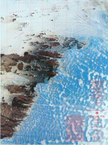
|
Bunger Hills Line Map View Map Details
Map ID - 11225
Published On - June-1999 Scale - 1 : 350 000 Physical Size- 70 x 90 cm 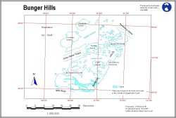
|
Bunger Hills Satellite Image Map View Map Details
Map ID - 16030
Published On - November-2023 Scale - 1 : 50 000 Physical Size- 84.1 x 118.9 cm A0 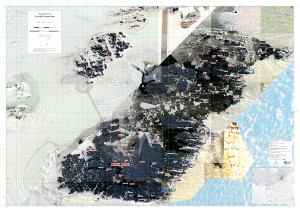
|
Bunger Hills Satellite Image Map View Map Details
Map ID - 11226
Published On - June-1999 Scale - 1 : 350 000 Physical Size- 70 x 90 cm A4 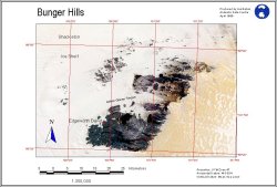
|
Bunger Hills Satellite Image Map - Map Series - Map Sheet: A1 View Map Details
Map ID - 16038
Published On - November-2023 Scale - 1 : 50 000 Physical Size- 29.7 x 42 cm A3 Vertical Unit - Meters 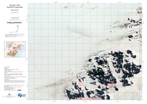
|
Bunger Hills Satellite Image Map - Map Series - Map Sheet: A2 View Map Details
Map ID - 16039
Published On - November-2023 Scale - 1 : 50 000 Physical Size- 29.7 x 42 cm A3 Vertical Unit - Meters 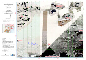
|
Bunger Hills Satellite Image Map - Map Series - Map Sheet: A3 View Map Details
Map ID - 16040
Published On - November-2023 Scale - 1 : 50 000 Physical Size- 29.7 x 42 cm A3 Vertical Unit - Meters 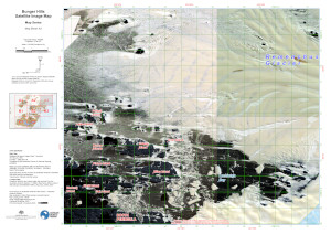
|
Bunger Hills Satellite Image Map - Map Series - Map Sheet: B1 View Map Details
Map ID - 16041
Published On - November-2023 Scale - 1 : 50 000 Physical Size- 29.7 x 42 cm A3 Vertical Unit - Meters 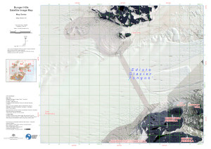
|
Bunger Hills Satellite Image Map - Map Series - Map Sheet: B2 View Map Details
Map ID - 16042
Published On - November-2023 Scale - 1 : 50 000 Physical Size- 29.7 x 42 cm A3 Vertical Unit - Meters 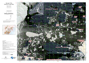
|
Bunger Hills Satellite Image Map - Map Series - Map Sheet: B3 View Map Details
Map ID - 16043
Published On - November-2023 Scale - 1 : 50 000 Physical Size- 29.7 x 42 cm A3 Vertical Unit - Meters 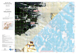
|
Bunger Hills Satellite Image Map - Map Series - Map Sheet: C1 View Map Details
Map ID - 16044
Published On - November-2023 Scale - 1 : 50 000 Physical Size- 29.7 x 42 cm A3 Vertical Unit - Meters 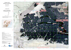
|
Bunger Hills Satellite Image Map - Map Series - Map Sheet: C2 View Map Details
Map ID - 16045
Published On - November-2023 Scale - 1 : 50 000 Physical Size- 29.7 x 42 cm A3 Vertical Unit - Meters 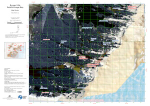
|
Bunger Hills Science Map View Map Details
Map ID - 15319
Published On - Not Entered Scale - 1 : c250 000 Physical Size- 39 x 37 cm Vertical Unit - Meters 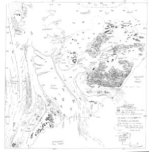
|
Bunger Hills West, Wilkes Land, Queen Mary Land View Map Details
Map ID - 25
Published On - June-1992 Scale - 1 : 50 000 Physical Size- 93 x 69 cm 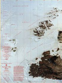
|
Bunger Hills with range rings at 5NM from Edgeworth David (Topographic) View Map Details
Map ID - 16154
Published On - August-2023 Scale - 1 : 200 000 Physical Size- 29.7 x 42 cm A3 Vertical Unit - Meters 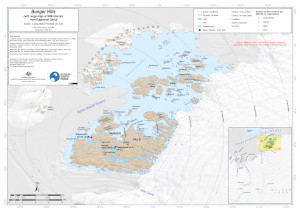
|
Charnokitovyy Peninsula View Map Details
Map ID - 2992
Published On - 1959 Scale - 1 : 50 000 Physical Size- 58 x 57 cm 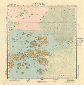
|
Denman Terrestrial Campaign - Bunger Hills (Environmental) View Map Details
Map ID - 15943
Published On - August-2023 Scale - 1 : 150 000 Physical Size- 29.7 x 42 cm A3 Vertical Unit - Meters 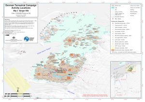
|
Denman Terrestrial Campaign - Bunger Hills (Topographic) View Map Details
Map ID - 15991
Published On - August-2023 Scale - 1 : 200 000 Physical Size- 29.7 x 42 cm A3 Vertical Unit - Meters 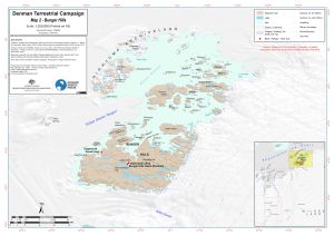
|
Denman Terrestrial Campaign - RPA operations View Map Details
Map ID - 16059
Published On - January-2024 Scale - 1 : 200 000 Physical Size- 29.7 x 42 cm A3 Vertical Unit - Meters 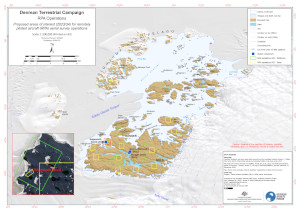
|
Denman Terrestrial Campaign - Satellite Imagery Holdings View Map Details
Map ID - 16052
Published On - August-2023 Scale - 1 : 750 000 Physical Size- 29.7 x 42 cm A3 Vertical Unit - Meters 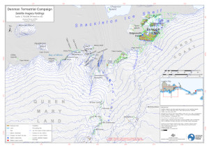
|
Showing 1 to 20 of 30 maps. On page 1 of 2, go to the Next Page