Bunger Hills
View All Map ListsShowing 21 to 30 of 30 maps. On page 2 of 2, go to the Previous Page
Edgeworth David Base View Map Details
Map ID - 15740
Published On - November-2022 Scale - 1 : 2000 Physical Size- - 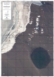
|
Edisto Glacier View Map Details
Map ID - 2991
Published On - 1959 Scale - 1 : 50 000 Physical Size- 47 x 57 cm 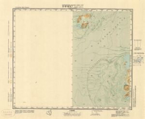
|
Geological Map of The Bunger Oasis View Map Details
Map ID - 13935
Published On - 1968 Scale - 1 : 100 000 Physical Size- 59 x 84 cm 
|
Grace Rocks View Map Details
Map ID - 2987
Published On - 1959 Scale - 1 : 50 000 Physical Size- 47 x 56.5 cm 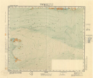
|
Oasis Polar Station View Map Details
Map ID - 2986
Published On - 1959 Scale - 1 : 50 000 Physical Size- 47.3 x 57 cm 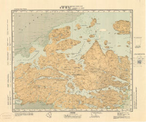
|
Scott Glacier View Map Details
Map ID - 2989
Published On - 1959 Scale - 1 : 50 000 Physical Size- 47 x 56.5 cm 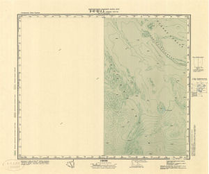
|
Shackleton Ice Shelf - Denman Glacier View Map Details
Map ID - 16050
Published On - November-2023 Scale - 1 : 350 000 Physical Size- 84.1 x 118.9 cm A0 Vertical Unit - Meters 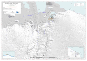
|
Shackleton Ice Shelf - Denman Glacier (range rings with distance from Edgeworth David) View Map Details
Map ID - 16047
Published On - January-2024 Scale - 1 : 350 000 Physical Size- 84.1 x 118.9 cm A0 Vertical Unit - Meters 
|
Taylor Islands View Map Details
Map ID - 2990
Published On - 1959 Scale - 1 : 50 000 Physical Size- 47 x 57 cm 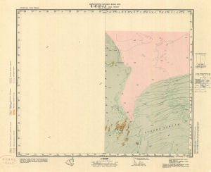
|
Thomas Island View Map Details
Map ID - 2993
Published On - 1959 Scale - 1 : 50 000 Physical Size- 57.5 x 57 cm 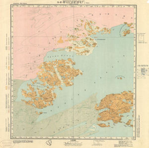
|
Showing 21 to 30 of 30 maps. On page 2 of 2, go to the Previous Page