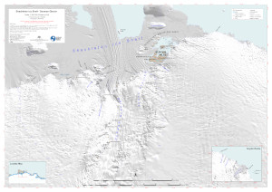
Map 16050: Shackleton Ice Shelf - Denman Glacier
Map details
| Map Number | 16050 |
| Title | Shackleton Ice Shelf - Denman Glacier |
| Edition | 1 |
| Scale | 1 : 350 000 |
| Publication date | November 2023 |
| Publisher |
Australian Antarctic Division (Australia)
|
| Spatial coverage |
( 95.3186° -65.4539°)
,
(104.3460° -65.4539°)
,
(104.3460° -68.0143°)
( 95.3186° -68.0143°) |
| Projection | UTM Zone 47S |
| Physical size | 84.1 x 118.9 cm A0 |
| Notes | Re-issue with sea colour adjustment. |
| Keywords | Shackleton Ice Shelf , Bunger Hills , Obruchev Hills , Mt Strathcona , Snyder Rocks , Edgeworth David |
Downloads
This is a digital map available for downloading.
Map Lists
This map belongs to the following lists. Use the link on the list to see all maps belonging to that list
Additional Information
| Horizontal datum | WGS 1984 |
| Vertical unit | Metres |
Preview