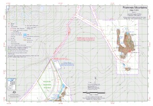
Map 15762: Framnes Mountains : Map 2 of 4
Map details
| Map Number | 15762 |
| Title | Framnes Mountains : Map 2 of 4 |
| Edition | 6 |
| Previous edition | [Previous edition : 5] |
| Scale | 1 : 50 000 |
| Publication date | October 2022 |
| Publisher |
Australian Antarctic Division (Australia)
|
| Spatial coverage |
( 62.6594° -67.6522°)
,
( 63.1114° -67.6522°)
,
( 63.1114° -67.7689°)
( 62.6594° -67.7689°) |
| Projection | Universal Transverse Mercator |
| Physical size | 29.7 x 42 cm A3 |
| Keywords | Mount Henderson , Fischer Nunatak , Goldsworthy Ridge , Painted Peak , Russian Li-2 Plane Crash Site , Rumdoodle Skiway , Topographic |
Downloads
This is a digital map available for downloading.
Map Lists
This map belongs to the following lists. Use the link on the list to see all maps belonging to that list
- Framne Mountains / Holme Bay / Mawson - extended list
- Framne Mountains / Holme Bay / Mawson - core list
Additional Information
| Horizontal datum | WGS84 |
| Vertical datum | Mean sea level |
| Vertical unit | Metres |
| Magnetic variation | Magnetic North is 69 degrees west of True North |
| Nomenclature | Australian Antarctic Gazetteer |
Preview