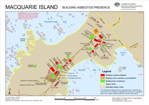
Map 15938: Macquarie Island Asbestos Presence in Buildings
Map details
| Map Number | 15938 |
| Title | Macquarie Island Asbestos Presence in Buildings |
| Edition | 4 |
| Previous edition | [Previous edition : 3] |
| Scale | 1 : 2500 |
| Publication date | September 2023 |
| Publisher |
Australian Antarctic Division (Australia)
|
| Spatial coverage |
(158.9323° -54.4972°)
,
(158.9429° -54.4972°)
,
(158.9429° -54.5009°)
(158.9323° -54.5009°) |
| Projection | Universal Transverse Mercator |
| Physical size | 21 x 29.7 cm A4 |
| Keywords | Garden Bay , Hasselborough Bay , Cosray Rocks , Buckles Bay , Hayter Rock , Station , Maximo |
Downloads
This is a digital map available for downloading.
Map Lists
This map belongs to the following lists. Use the link on the list to see all maps belonging to that list
Additional Information
| Horizontal datum | WGS84 |
| Vertical datum | Mean sea level |
| Vertical unit | Metres |
Preview