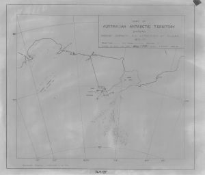
Map 1714: Part of Australian Antarctic Territory showing Ground Journeys and Astro-Fixes by A.N.A.R.E. 1956-57
Map details
| Map Number | 1714 |
| Title | Part of Australian Antarctic Territory showing Ground Journeys and Astro-Fixes by A.N.A.R.E. 1956-57 |
| Edition | - |
| Scale | 1 : 3 000 000 |
| Publication date | June 1957 |
| Publisher |
Australia
|
| Spatial coverage |
( 45.0000° -65.0000°)
,
( 85.0000° -65.0000°)
,
( 85.0000° -75.0000°)
( 45.0000° -75.0000°) |
| Projection | Polar Stereographic |
| Physical size | 52 x 61.2 cm |
| Notes | Showing ground journeys and astro-fixes 1956/57 |
| Reference | 74/1/27 |
| Keywords | Prince Charles Mountains , PCM , PCMs , Amery Ice Shelf , ANARE |
Downloads
This is a hard copy map that has been scanned. See information about obtaining copies of hard copy maps.
Map Lists
No maps lists available.
Additional Information
Preview