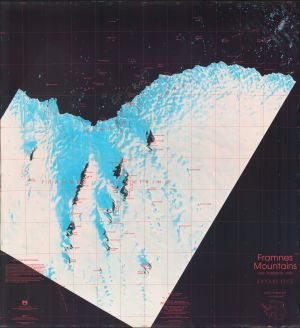
Map 64: Framnes Mountains, Mac.Robertson Land
Map details
| Map Number | 64 |
| Title | Framnes Mountains, Mac.Robertson Land |
| Edition | 1 (Out of Date) |
| Next Edition | [Next Edition : 2] |
| Scale | 1 : 100 000 |
| Publication date | January 1990 |
| Publisher |
Australian Antarctic Division (Australia)
|
| Spatial coverage |
( 62.0010° -67.3333°)
,
( 64.1030° -67.3333°)
,
( 64.1030° -68.1967°)
( 62.0010° -68.1967°) |
| Projection | Universal Transverse Mercator |
| Physical size | 95.5 x 88.5 cm |
| Notes | This map was published as a single sided and a double-sided map with a satellite image map one side and a topographic map the other. See Map No. 63. |
| Reference | L12 |
| Keywords | Framnes Mountains , Satellite Imagery |
Downloads
This is a hard copy map that has been scanned. See information about obtaining copies of hard copy maps.
Map Lists
This map belongs to the following lists. Use the link on the list to see all maps belonging to that list
Additional Information
| Nomenclature | Australian Antarctic Gazetteer |
Preview