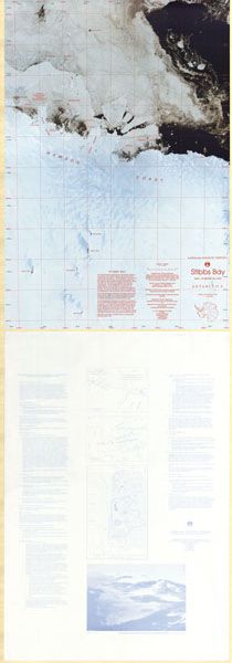
Map 72: Stibbs Bay, Mac.Robertson Land
Map details
| Map Number | 72 |
| Title | Stibbs Bay, Mac.Robertson Land |
| Edition | 1 |
| Scale | 1 : 100 000 |
| Publication date | October 1992 |
| Publisher |
Australian Antarctic Division (Australia)
|
| Spatial coverage |
( 60.5917° -67.1300°)
,
( 62.1917° -67.1300°)
,
( 62.1917° -68.0023°)
( 60.5917° -68.0023°) |
| Projection | Transverse Mercator |
| Physical size | 100 x 67.5 cm |
| Notes | The back of this map includes the management plan for Specially Protected Area (SPA No 1) Auster Rookery. Refer to the Australian Antarctic Division's web site for the lasted management plan. |
| Reference | Cat.No:L18 in 'ANARE Catalogue of Maps and Hydrographic Charts 1997' |
| Keywords | Mac Robertson , MacRobertson , Mawson , Falla , Bluff , Stanton , Cape , Bruce , Thorfinn , Howard , Taylor , Jelbart , Colbeck , Low Tongue , Satellite Imagery |
Downloads
This is a hard copy map that has been scanned. See information about obtaining copies of hard copy maps.
- Satellite Image Map (PDF)
- A zipped image (TIF) for use in Oziexplorer
- SPA No 1 Management Plan (PDF)
- Satellite Image Map (LZW compressed TIFF)
Map Lists
This map belongs to the following lists. Use the link on the list to see all maps belonging to that list
Additional Information
| Horizontal datum | WGS84 |
| Magnetic variation | 63.4 degrees west in October 1992 |
| Nomenclature | Australian Antarctic Gazetteer |
Preview