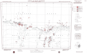
Map 942: Mawson and Mount Henderson
Map details
| Map Number | 942 |
| Title | Mawson and Mount Henderson |
| Edition | Preliminary |
| Scale | 1 : 250 000 |
| Publication date | 1967 |
| Publisher |
Bureau of Mineral Resources, Geology and Geophysics, Department of National Development, Canberra (Australia)
|
| Spatial coverage |
( 60.0000° -67.0000°)
,
( 64.0000° -67.0000°)
,
( 64.0000° -68.0000°)
( 60.0000° -68.0000°) |
| Projection | Universal Transverse Mercator |
| Physical size | 62 x 96 cm |
| Notes | Compiled by D.S. Trail. 1:250,000 geological series. |
| Reference | SQ 40-41/15 & SQ 40-41/16 (M33) |
| Keywords | Mawson , Mount Henderson , Framnes Mountains , Stibbs Bay , Robinson Group , Colbeck Archipelago , Thorfinn Islands , M33 , Geology |
Downloads
This is a hard copy map that has been scanned. See information about obtaining copies of hard copy maps.
- Image from scan (PDF)
- National Library of Australia Bib ID 4560434 (External site)
- A LZW compressed TIFF
Map Lists
This map belongs to the following lists. Use the link on the list to see all maps belonging to that list
Additional Information
| Nomenclature | Antarctic Names Committee of Australia |
Preview