Macquarie Island - extended list
View All Map ListsAn extended list of maps of Macquarie Island including maps of Macquarie Island Station.
Showing 41 to 42 of 42 maps. On page 3 of 3, go to the Previous Page
Sketch Map of Macquarie Island North End Isthmus View Map Details
Map ID - 14274
Published On - May-1949 Scale - 1 : 2200 Physical Size- 51 x 53.5 cm 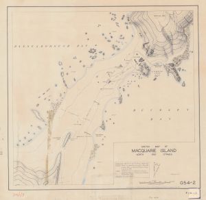
|
The Isthmus at Macquarie Island
|
![The Isthmus at Macquarie Island <br>
with a Macquarie Island inset and an inset showing the location of Macquarie Island in relation to Australia and New Zealand [Black and white]](/database/mapcat/maccastn/macquarie_isthmus_2insets_14216_thumb.jpg)
Showing 41 to 42 of 42 maps. On page 3 of 3, go to the Previous Page