Air Operations Planning Maps
View All Map ListsThis list includes maps from the SCAGI Air Operations Planning Maps project.
Showing 21 to 22 of 22 maps. On page 2 of 2, go to the Previous Page
MAP 20 : BANZARE Coast View Map Details
Map ID - 16057
Published On - December-2023 Scale - 1 : 1 000 000 Physical Size- 84.1 x 87 cm Vertical Unit - Feet 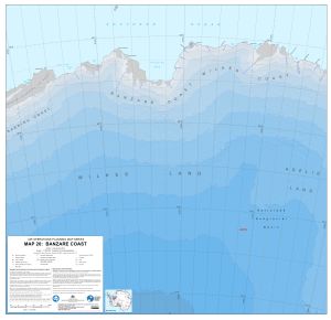
|
MAP 21 : George V Land View Map Details
Map ID - 16058
Published On - December-2023 Scale - 1 : 1 000 000 Physical Size- 84.1 x 101 cm Vertical Unit - Feet 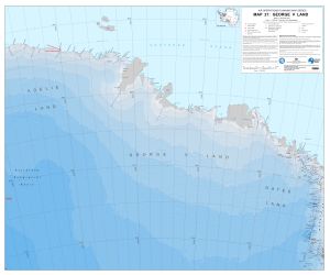
|
Showing 21 to 22 of 22 maps. On page 2 of 2, go to the Previous Page