Air Operations Planning Maps
View All Map ListsThis list includes maps from the SCAGI Air Operations Planning Maps project.
Showing 1 to 20 of 22 maps. On page 1 of 2, go to the Next Page
Map 00: SCAGI Air Operations Planning Maps Index View Map Details
Map ID - 16027
Published On - September-2023 Scale - Not Entered Physical Size- - 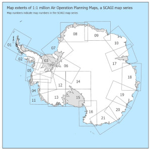
|
Map 01: Graham Land View Map Details
Map ID - 15959
Published On - August-2022 Scale - 1 : 1 000 000 Physical Size- 83.1 x 87.5 cm Vertical Unit - Feet 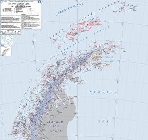
|
Map 02: Rothera to Sky Blu View Map Details
Map ID - 15960
Published On - August-2022 Scale - 1 : 1 000 000 Physical Size- 106 x 72 cm Vertical Unit - Feet 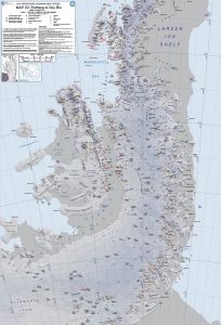
|
Map 03: Sky Blu to Ellsworth Mountains View Map Details
Map ID - 15961
Published On - August-2022 Scale - 1 : 1 000 000 Physical Size- 79.1 x 84 cm Vertical Unit - Feet 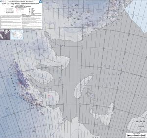
|
Map 04: Pine Island Bay View Map Details
Map ID - 15962
Published On - August-2022 Scale - 1 : 1 000 000 Physical Size- 108.6 x 82 cm Vertical Unit - Feet 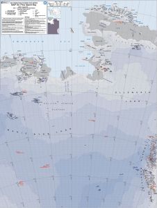
|
Map 05: Sky Blu to Pine Island View Map Details
Map ID - 15963
Published On - August-2022 Scale - 1 : 1 000 000 Physical Size- 108.6 x 82.2 cm Vertical Unit - Feet 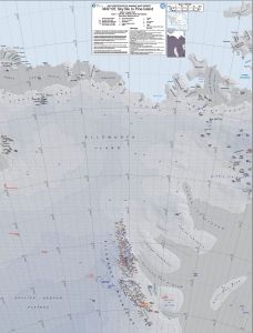
|
Map 06: Pensacola Mountains to South Pole View Map Details
Map ID - 15964
Published On - August-2022 Scale - 1 : 1 000 000 Physical Size- 104.1 x 77.6 cm Vertical Unit - Feet 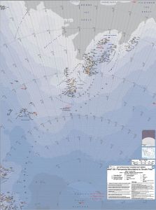
|
Map 07: East Ronne Ice Shelf to Halley View Map Details
Map ID - 15965
Published On - August-2022 Scale - 1 : 1 000 000 Physical Size- 87.6 x 104.1 cm Vertical Unit - Feet 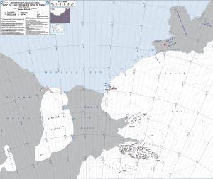
|
Map 08: Aboa to Novolazarevskaya View Map Details
Map ID - 15966
Published On - September-2019 Scale - 1 : 1 000 000 Physical Size- 84.1 x 118.9 cm Vertical Unit - Feet 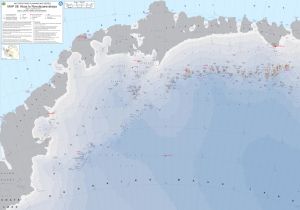
|
MAP 09: Novolazarevskaya to Syowa View Map Details
Map ID - 14621
Published On - September-2017 Scale - 1 : 1 000 000 Physical Size- 90 x 120 cm Vertical Unit - Feet 
|
MAP 10: Syowa to Mawson View Map Details
Map ID - 16053
Published On - December-2023 Scale - 1 : 1 000 000 Physical Size- 84.1 x 106.5 cm Vertical Unit - Feet 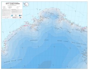
|
Map 11: Amundsen Sea View Map Details
Map ID - 15950
Published On - October-2019 Scale - 1 : 1 000 000 Physical Size- 109.2 x 76.2 cm Vertical Unit - Feet 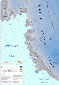
|
Map 12: Ellsworth Mountains View Map Details
Map ID - 15951
Published On - October-2019 Scale - 1 : 1 000 000 Physical Size- 76.2 x 109.2 cm Vertical Unit - Feet 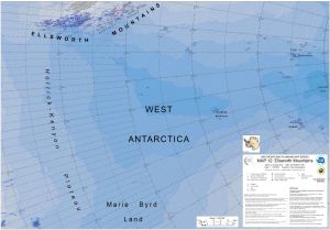
|
Map 13: Marie Byrd Land View Map Details
Map ID - 15955
Published On - October-2019 Scale - 1 : 1 000 000 Physical Size- 109.2 x 76.2 cm Vertical Unit - Feet 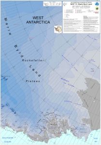
|
Map 14: South Pole View Map Details
Map ID - 15956
Published On - October-2019 Scale - 1 : 1 000 000 Physical Size- 76.2 x 109.2 cm Vertical Unit - Feet 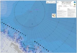
|
Map 15: Ross Ice Shelf View Map Details
Map ID - 15957
Published On - October-2019 Scale - 1 : 1 000 000 Physical Size- 76.2 x 109.2 cm Vertical Unit - Feet 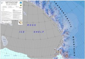
|
Map 16: Victoria Land View Map Details
Map ID - 15958
Published On - October-2019 Scale - 1 : 1 000 000 Physical Size- 109.2 x 76.2 cm Vertical Unit - Feet 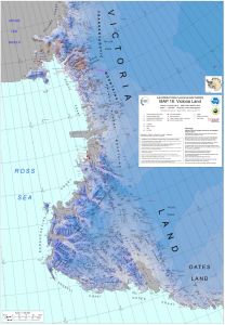
|
MAP 17: Amery Ice Shelf View Map Details
Map ID - 16054
Published On - December-2023 Scale - 1 : 1 000 000 Physical Size- 118.9 x 84.1 cm Vertical Unit - Feet 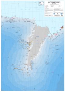
|
MAP 18: Rauer Group to Bunger Hills View Map Details
Map ID - 16055
Published On - December-2023 Scale - 1 : 1 000 000 Physical Size- 84.1 x 118.9 cm Vertical Unit - Feet 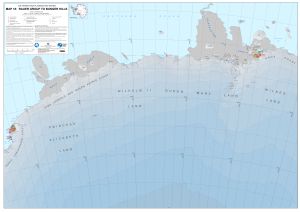
|
MAP 19: Law Dome to Dome C View Map Details
Map ID - 16056
Published On - December-2023 Scale - 1 : 1 000 000 Physical Size- 118.9 x 84.1 cm Vertical Unit - Feet 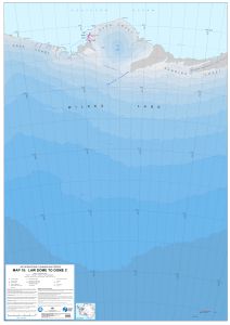
|
Showing 1 to 20 of 22 maps. On page 1 of 2, go to the Next Page