Brown1 station information
Station identification
- Primary name
- Brown1
Locality
Brown Lagoon ? Intersection of creek to beach
View place name details in the gazetteer
Type
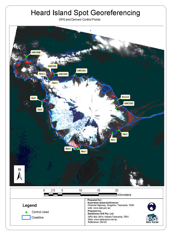
Heard Island Control
General
- Metadata
-
Heard_RadarSat_georef - Heard Island Radarsat Georeferencing Report, September 2002
- Date last visited
-
No visits or not recorded (if present then see metadata record)
- Date last maintained
- Location details
| Coordinates |
| Datum | Latitude | Longitude | Accuracy (m) | Order | Grid | Easting | Northing | Date released | Status |
| MSL |
-53° 5' 31.941400"
-53.09220595 |
73° 41' 14.405600"
73.68733488 |
|
|
43 |
412096.480 |
4116667.020 |
|
Current |
|
Orthometric
Heights |
| Datum | Height (m) | Accuracy (m) | Order | Date released | Status |
| MSL |
1 |
|
|
|
Current |
|
| Documents |
|
There are no nearby stations within 0.25 degrees of this station.