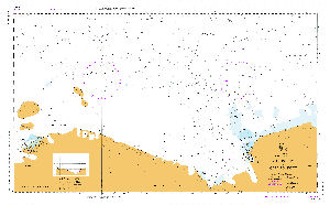
Map 11551: Aus 454 Australian Antarctic Territory - Wilkes Land - Mill Island to Cape Poinsett
Map details
| Map Number | 11551 |
| Title | Aus 454 Australian Antarctic Territory - Wilkes Land - Mill Island to Cape Poinsett |
| Edition | - |
| Scale | 1 : 500 000 |
| Publication date | October 1998 |
| Publisher |
Hydrographic Service, Department of the Navy, Wollongong (Australia)
|
| Spatial coverage |
(100.1333° -63.7500°)
,
(113.5000° -63.7500°)
,
(113.5000° -67.0000°)
(100.1333° -67.0000°) |
| Projection | Mercator |
| Physical size | 73 x 119 cm |
| Notes | Small corrections between editions |
| Reference | M5, AUS 454, INT 9020 |
| Keywords | Aus 454 , Mill Island , Cape Poinsett , Petersen Bank , Bunger Hills , Int 9020 , Chart , Nautical , Chart |
Downloads
Map Lists
This map belongs to the following lists. Use the link on the list to see all maps belonging to that list
Additional Information
| Horizontal datum | WGS84 |
| Vertical datum | Lowest Astronomical Tide |
Preview