Nautical charts
View All Map ListsShowing 1 to 20 of 57 maps. On page 1 of 3, go to the Next Page
Adelaide Island : Southwestern approaches View Map Details
Map ID - 361
Published On - March-1995 Scale - 1 : 75 000 Physical Size- 71 x 104 cm
No previews available
|
Approaches to Graham Land View Map Details
Map ID - 5536
Published On - December-1984 Scale - 1 : 2 750 000 Physical Size- 71 x 104 cm
No previews available
|
Approaches to Stromness and Cumberland Bays View Map Details
Map ID - 12928
Published On - January-2003 Scale - 1 : 50 000 Physical Size- 105.5 x 76.5 cm
No previews available
|
Approaches to the Falkland Islands View Map Details
Map ID - 5525
Published On - September-1986 Scale - 1 : 1 500 000 Physical Size- 70.5 x 121 cm
No previews available
|
Argentine Islands to Brabant Island View Map Details
Map ID - 375
Published On - January-1992 Scale - 1 : 200 000 Physical Size- 90 x 136 cm
No previews available
|
Aus 402 Australian Antarctic Territory - Casey Bay to Cape Darnley View Map Details
Map ID - 310
Published On - 1965 Scale - 1 : 1 000 000 Physical Size- 73 x 119 cm 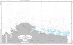
|
Aus 4074 Southern Ocean - Cape Darnley to Tasmania View Map Details
Map ID - 13213
Published On - September-2004 Scale - 1 : 10 000 000 Physical Size- 73 x 119 cm 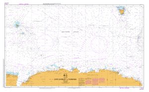
|
Aus 448 Australian Antarctic Territory - Kirkby Head to Magnet Bay View Map Details
Map ID - 14012
Published On - December-2011 Scale - 1 : 500 000 Physical Size- 73.5 x 110.5 cm 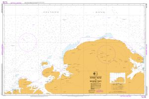
|
Aus 449 Australian Antarctic Territory - Magnet Bay to Cape Rouse View Map Details
Map ID - 316
Published On - September-1993 Scale - 1 : 500 000 Physical Size- 73 x 110 cm 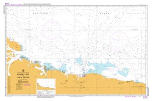
|
Aus 450 Australian Antarctic Territory - Cape Rouse to Sandefjord Bay View Map Details
Map ID - 314
Published On - November-1991 Scale - 1 : 500 000 Physical Size- 110 x 72 cm 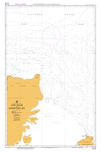
|
Aus 451 Australian Antarctic Territory - Sandefjord Bay to Cape Rundingen View Map Details
Map ID - 386
Published On - January-1992 Scale - 1 : 500 000 Physical Size- 110 x 73 cm 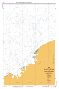
|
Aus 452 Australian Antarctic Territory - Cape Rundingen to Cape Filchner View Map Details
Map ID - 11550
Published On - 1-November-2002 Scale - 1 : 500 000 Physical Size- 73 x 110 cm 
|
Aus 454 Australian Antarctic Territory - Wilkes Land - Mill Island to Cape Poinsett View Map Details
Map ID - 11551
Published On - October-1998 Scale - 1 : 500 000 Physical Size- 73 x 119 cm 
|
Aus 597 Australia - Southern Ocean - Approaches to Heard Island View Map Details
Map ID - 14602
Published On - 13-February-2015 Scale - 1 : 1 500 000 Physical Size- 73 x 110.5 cm Vertical Unit - Meters 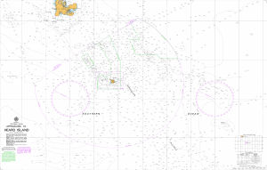
|
Aus 599 Australian Antarctic Territory - Gibbney Island to Kista Strait View Map Details
Map ID - 13990
Published On - 14-January-2011 Scale - 1 : 25 000 Physical Size- 72.9 x 110.5 cm 
|
Aus 600 Australian Antarctic Territory - Approaches to Mawson View Map Details
Map ID - 14601
Published On - 18-November-2016 Scale - 1 : 25 000 Physical Size- 119 x 72 cm Vertical Unit - Meters 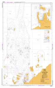
|
Aus 601 Australian Antarctic Territory - Wilkes Land - Approaches to Casey View Map Details
Map ID - 14505
Published On - 6-November-2015 Scale - 1 : 50 000 Physical Size- 73 x 112 cm 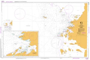
|
Aus 602 Australian Antarctic Territory - Approaches to Davis Anchorage View Map Details
Map ID - 13018
Published On - 31-May-2019 Scale - 1 : 12 500 Physical Size- 75 x 110 cm 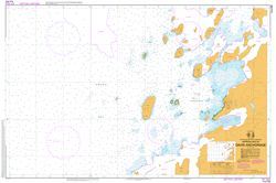
|
Aus 603 Australian Antarctic Territory - George V Land - Approaches to Commonwealth Bay View Map Details
Map ID - 14023
Published On - July-2011 Scale - 1 : 25 000 Physical Size- 110 x 70 cm 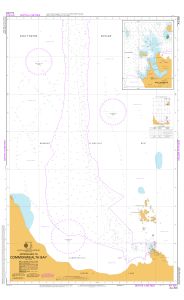
|
Aus 604 Southern Ocean - Macquarie Island and Approaches View Map Details
Map ID - 16177
Published On - 15-March-2024 Scale - 1 : 100 000 Physical Size- 110 x 73 cm 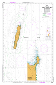
|
Showing 1 to 20 of 57 maps. On page 1 of 3, go to the Next Page