Nautical charts
View All Map ListsShowing 21 to 40 of 57 maps. On page 2 of 3, go to the Previous Page or Next Page
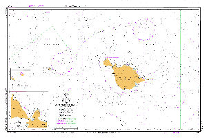
Aus 605 Australia - Southern Ocean - Heard and McDonald Islands View Map Details |
Australia to Antarctica View Map Details
Map ID - 5170
Published On - 1964 Scale - 1 : 8 500 000 Physical Size- -
No previews available
|
Bellingshausen Sea to Valdivia View Map Details
Map ID - 5544
Published On - September-1987 Scale - 1 : 10 000 000 Physical Size- 103.5 x 70 cm
No previews available
|
Brabant Island to Adelaide Island View Map Details
Map ID - 350
Published On - April-1997 Scale - 1 : 500 000 Physical Size- 104 x 71 cm
No previews available
|
Brabant Island to Deception Island, Bransfield Strait View Map Details
Map ID - 374
Published On - January-1992 Scale - 1 : 200 000 Physical Size- 90 x 139 cm
No previews available
|
British Antarctic Survey Base: Rothera, Marguerite Bay View Map Details
Map ID - 5504
Published On - March-1983 Scale - 1 : 25 000 Physical Size- 71 x 111 cm
No previews available
|
Canal Smyth to Canal Senoret, Chile View Map Details
Map ID - 371
Published On - December-1983 Scale - 1 : 150 000 Physical Size- 103 x 71 cm
No previews available
|
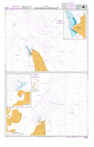
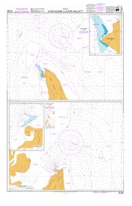
Cape Adare and Cape Hallett : Cape Adare View Map Details |
Cape Adare and Cape Hallett : Cape Hallett View Map Details |
Cape Otway to Cape Liptrap, taking in King Island, Northwest Tasmania and Bass Strait West View Map Details
Map ID - 382
Published On - 1980 Scale - Not Entered Physical Size- 106 x 71 cm
No previews available
|
Deception Island, South Shetland Islands View Map Details
Map ID - 353
Published On - September-1987 Scale - 1 : 50 000 Physical Size- 71 x 104 cm
No previews available
|
Drake Passage View Map Details
Map ID - 13126
Published On - November-1998 Scale - 1 : 3 500 000 Physical Size- 71 x 104 cm
No previews available
|
Falkland Islands (Western sheet) View Map Details
Map ID - 13245
Published On - March-1955 Scale - Not Entered Physical Size- 104 x 71 cm
No previews available
|
Falkland Islands to Graham Land View Map Details
Map ID - 5538
Published On - November-1985 Scale - 1 : 3 250 000 Physical Size- 71 x 104 cm
No previews available
|
Graham Land: Grandidier Channel - New Edition 18 Dec. 87 View Map Details
Map ID - 5519
Published On - December-1987 Scale - 1 : 200 000 Physical Size- -
No previews available
|
Grandidier Channel, Antarctica - Graham Land View Map Details
Map ID - 346
Published On - April-1984 Scale - 1 : 200 000 Physical Size- 52 x 71 cm
No previews available
|
Harbours and anchorages in South Georgia View Map Details
Map ID - 13125
Published On - January-2003 Scale - 1 : 15 000 Physical Size- 71.5 x 118 cm
No previews available
|
Islands in the Indian Ocean View Map Details
Map ID - 5551
Published On - November-1984 Scale - 1 : 290 000 Physical Size- 71 x 52 cm
No previews available
|
Joinville Island to Cape Ducorps and Church Point View Map Details
Map ID - 347
Published On - February-1996 Scale - 1 : 150 000 Physical Size- 71 x 122 cm
No previews available
|
Kapp Norvegia to Iles Kerguelen View Map Details
Map ID - 284
Published On - April-1997 Scale - 1 : 10 000 000 Physical Size- 71.5 x 106.5 cm
No previews available
|
Showing 21 to 40 of 57 maps. On page 2 of 3, go to the Previous Page or Next Page


