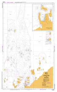
Map 14601: AUS 600 Approaches to Mawson
Map details
| Map Number | 14601 |
| Title | AUS 600 Approaches to Mawson |
| Edition | 4 |
| Scale | 1 : 25 000 |
| Publication date | 18 November 2016 |
| Publisher |
Hydrographic Service, Department of the Navy, Wollongong (Australia)
|
| Spatial coverage |
( 62.7039° -67.3578°)
,
( 63.0842° -67.3578°)
,
( 63.0842° -67.6083°)
( 62.7039° -67.6083°) |
| Projection | Transverse Mercator |
| Physical size | 119 x 72 cm |
| Notes | Horseshoe Harbour inset is at scale 1:5000. Compiled from ANARE vertical and oblique air photography, triangulation, and hydrographic surveys. Metric soundings, and heights. |
| Reference | Aus 600, Aus600, Int 9036 |
| Keywords | Aus 600 , Int 9036 , Horseshoe Harbour , Approaches To Mawson , Chart , Nautical |
Downloads
Map Lists
This map belongs to the following lists. Use the link on the list to see all maps belonging to that list
Additional Information
| Horizontal datum | WGS84 |
| Vertical unit | Metres |
Preview