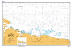
Map 316: Aus 449 Australian Antarctic Territory - Magnet Bay to Cape Rouse
Map details
| Map Number | 316 |
| Title | Aus 449 Australian Antarctic Territory - Magnet Bay to Cape Rouse |
| Edition | 2 |
| Previous edition | [Previous edition : 1] |
| Scale | 1 : 500 000 |
| Publication date | September 1993 |
| Publisher |
Hydrographic Service, Department of the Navy, Wollongong (Australia)
|
| Spatial coverage |
( 56.0000° -65.4167°)
,
( 68.3333° -65.4167°)
,
( 68.3333° -68.2500°)
( 56.0000° -68.2500°) |
| Projection | Mercator |
| Physical size | 73 x 110 cm |
| Notes | Small corrections between editions. |
| Reference | Aus 449 (M1), INT9035 |
| Keywords | Magnet Bay , Cape Rouse , Aus 449 , Int9035 , Chart , Nautical , Chart |
Downloads
Map Lists
This map belongs to the following lists. Use the link on the list to see all maps belonging to that list
Additional Information
Preview