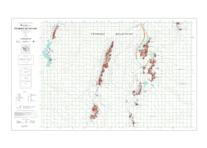
Map 13192: Framnes Mountains, MacRobertson Land, Antarctica. Sheet 2
Map details
| Map Number | 13192 |
| Title | Framnes Mountains, MacRobertson Land, Antarctica. Sheet 2 |
| Edition | 3 |
| Previous edition | [Previous edition : 2] |
| Scale | 1 : 50 000 |
| Publication date | October 2005 |
| Publisher |
Australian Antarctic Division (Australia)
|
| Spatial coverage |
( 62.1333° -67.7167°)
,
( 63.1333° -67.7167°)
,
( 63.1333° -68.0000°)
( 62.1333° -68.0000°) |
| Projection | Transverse Mercator |
| Physical size | 64.5 x 106 cm |
| Keywords | Framnes Mountains , Casey Range , David Range , Masson Range , Rumdoodle Peak , Fang Peak , Topographic |
Downloads
This is a digital map available for downloading.
Map Lists
No maps lists available.
Additional Information
| Horizontal datum | WGS84 |
| Vertical datum | Mean sea level |
| Magnetic variation | 66 deg. west of north |
Preview